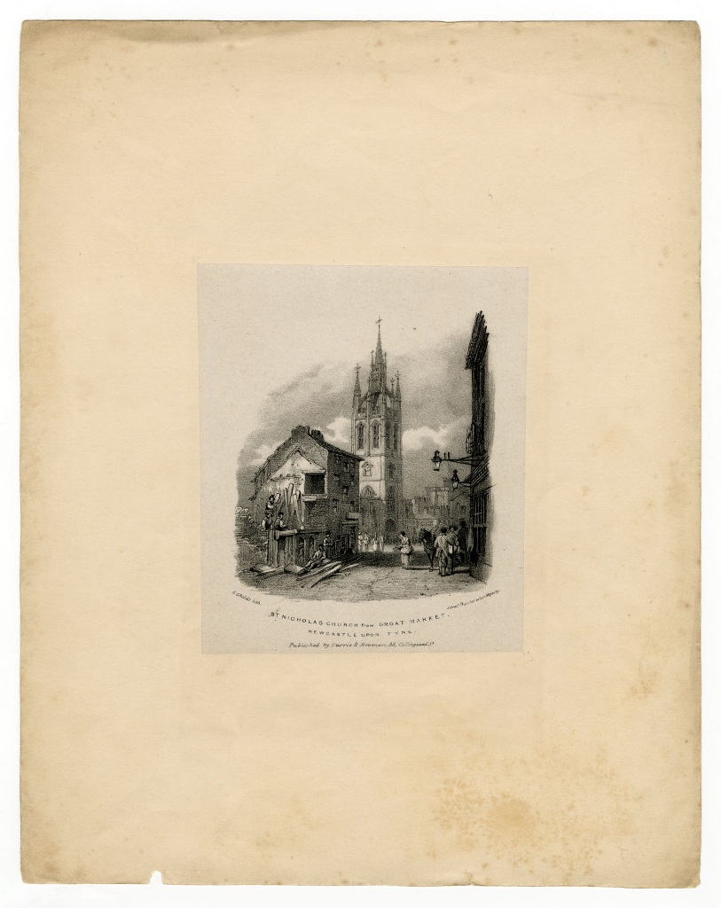
Groat Market (Meal Market)
Groat Market (Meal Market)
HER Number
6500
District
Newcastle
Site Name
Groat Market (Meal Market)
Place
Newcastle
Map Sheet
NZ26SW
Class
Commercial
Site Type: Broad
Market
Site Type: Specific
Market
General Period
MEDIEVAL
Specific Period
Medieval 1066 to 1540
Form of Evidence
Structure
Description
Its east side was destroyed for the new Town Hall and Exchange in 1855 and in the early 1960s a large section on the west side was cleared for Thomson House. Groats were a cereal; they were oats with the husks removed or the grains crushed and were used to feed humans and animals.
Easting
424890
Northing
564070
Grid Reference
NZ424890564070
Sources
H. Bourne, 1736, The History of Newcastle upon Tyne, p 52; N. Pevsner and I. Richmond, second edition revised by G. McCombie, P. Ryder and H. Welfare, 1992, The Buildings of England: Northumberland (second edition); D. Lovie, 1997, The Buildings of Grainger Town; I. Ayris, 1997, A City of Palaces; H. Bourne, 1736, The History of Newcastle upon Tyne, p 55