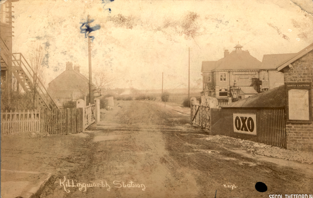
Killingworth Station
Killingworth Station
HER Number
1081
District
N Tyneside
Site Name
Killingworth Station
Place
Killingworth
Map Sheet
NZ27SE
Class
Transport
Site Type: Broad
Railway Transport Site
Site Type: Specific
Railway Station
General Period
POST MEDIEVAL
Specific Period
Victorian 1837 to 1901
Form of Evidence
Documentary Evidence
Description
Killingworth Station, on the N.E.R (HER ref. 1063). The 2nd edition Ordnance Survey Map shows an expansion of sidings at the Station compared with earlier records.
Easting
426830
Northing
570760
Grid Reference
NZ426830570760
Sources
<< HER 1081 >> 1st edition Ordnance Survey map, 1864, 6 inch scale, Northumberland, 80
2nd edition Ordnance Survey map, 1898, 6 inch scale, Northumberland, 88, NE
2nd edition Ordnance Survey map, 1898, 6 inch scale, Northumberland, 88, NE