Jesmond Road, Cradle Well
Jesmond Road, Cradle Well
HER Number
11281
District
Newcastle
Site Name
Jesmond Road, Cradle Well
Place
Jesmond
Map Sheet
NZ26NE
Class
Water Supply and Drainage
Site Type: Broad
Water Storage Site
Site Type: Specific
Trough
General Period
POST MEDIEVAL
Specific Period
Victorian 1837 to 1901
Form of Evidence
Structure
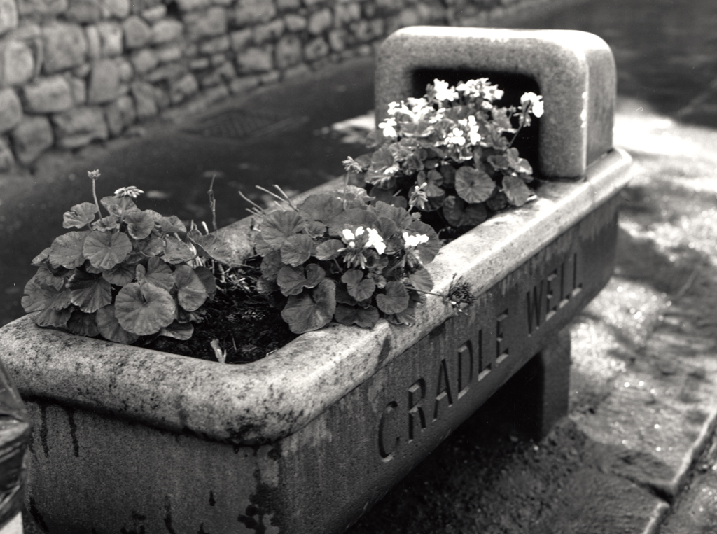
Description
A stone cradle-shaped trough, after which the Cradlewell Public House was named. It was moved from its original position due to road alterations, firstly to Heaton Park then back to Jesmond Road.
Easting
426070
Northing
565950
Grid Reference
NZ426070565950
Sources
Newcastle Local Studies Library, Newspaper Cuttings Relating to Newcastle, Vol 2, p 55 includes a sketch; Newcastle Daily Chronicle 25th December 1903; Alan Morgan, 1998, Bygone Sandyford and Cradlewell